Viewshed Analysis & Visual Impact Services
Helping Clients better understand and communicate the visual impact of proposed infrastructure through aerial photography, GIS, image analysis, 3D modeling, and photorealistic simulations.
Operating Area
We are based in the Washington, DC area, but will travel nationwide. Please contact for more details.
We Are
Drone Pilots (FAA-Certified) | Photo-realistic Simulation / Rendering Specialists | Balloon Test & Drone Test Specialists | Image Analysts | Surveillance Aerostat Experts | Aerial Photographers | Visual Impact Assessment Experts | Viewshed Analysis Experts | 3D Modelers
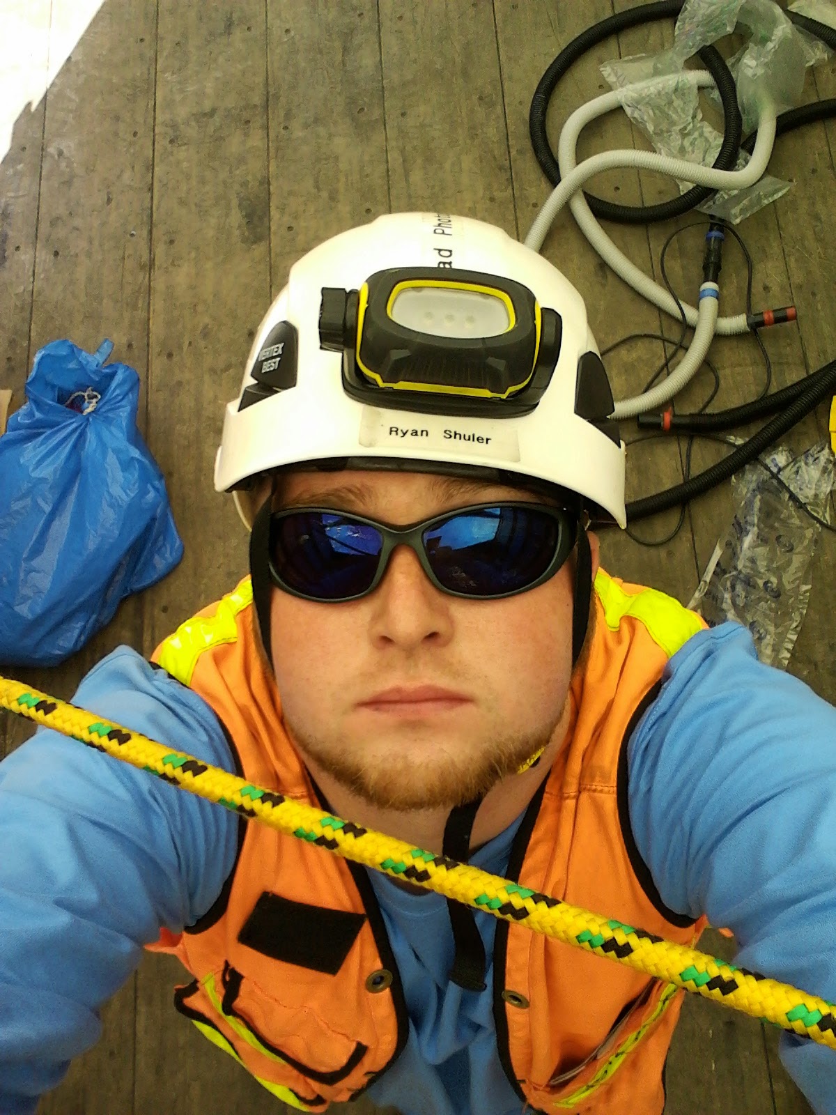
Ryan Shuler
Principal | Owner
My goal is to help Clients better understand and communicate the visual impact of proposed infrastructure through aerial photography, GIS, image analysis, 3D modeling, and photorealistic simulations. With 16+ years of experience, I have enabled over 100 different organizations representing engineering, architecture, telecom, science, and Homeland Security to visualize, explore, refine, and add value to their projects.


